I configured an offset between the GNSS antenna and echo sounder position, but after processing the data points appear at the same places as the raw position data. What am I doing wrong?
To define an offset between the GNSS antenna position and the echo sounder position, you can use the "Vessel Designer". Make sure that the "Vessel Designer" is set to the correct units.
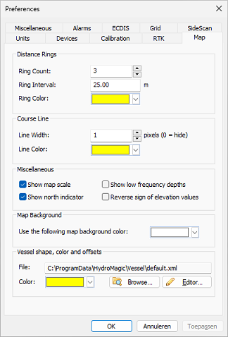
After configuring a vessel file for your USV or boat, make sure that after editing, you select the correct vessel shape file in the "Map" tab of the preferences windows.
The vertical and horizontal offsets between the echo sounder and GNSS antenna will be applied to the raw data during processing in the "Sounding Wizard".
When the offsets aren't applied it means that the heading information is missing or incomplete. Make sure that you correctly setup your heading device and that you selected the correct heading mode.

Make sure you select the correct vessel shape.
